 Your new post is loading...

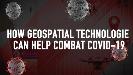

How Geospatial Technologies can help combat COVID-19
GIS plays an important role in mapping a disease outbreak and tracking its spread. Satellite imagery enables decision-makers to monitor the infrastructure required for dealing with a pandemic. China has extensively used both these technologie